
Thank you for supporting this site ❤️
Make a donation
Make a donation
Wind Farm topographic map
Click on the map to display elevation.
Thank you for supporting this site ❤️
Make a donation
Make a donation
About this map
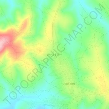
Name: Wind Farm topographic map, elevation, terrain.
Location: Wind Farm, Mufindi, Iringa, Southern Highlands Zone, Tanzania (-8.23598 35.66205 -8.19598 35.70205)
Average elevation: 1,939 m
Minimum elevation: 1,874 m
Maximum elevation: 2,047 m
Thank you for supporting this site ❤️
Make a donation
Make a donation