
Olalhas topographic map
Interactive map
Click on the map to display elevation.
About this map
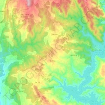
Name: Olalhas topographic map, elevation, terrain.
Location: Olalhas, Tomar, Santarém, Portugal (39.60733 -8.35718 39.67928 -8.23641)
Average elevation: 224 m
Minimum elevation: 95 m
Maximum elevation: 422 m