
Roselle Park topographic map
Interactive map
Click on the map to display elevation.
About this map
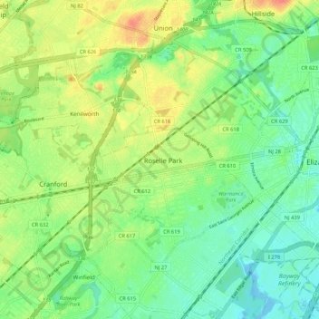
Name: Roselle Park topographic map, elevation, terrain.
Location: Roselle Park, Union County, New Jersey, 07204, United States (40.62455 -74.30431 40.70455 -74.22431)
Average elevation: 21 m
Minimum elevation: -3 m
Maximum elevation: 52 m