
Lumeje topographic map
Interactive map
Click on the map to display elevation.
About this map
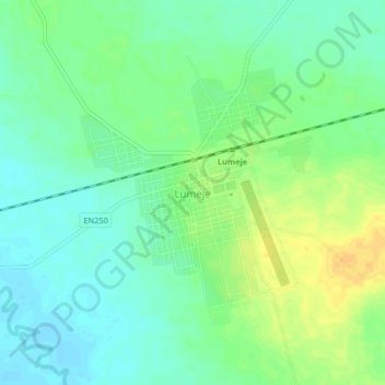
Name: Lumeje topographic map, elevation, terrain.
Location: Lumeje, Provinz Moxico, Angola (-11.57991 20.75797 -11.53991 20.79797)
Average elevation: 1,140 m
Minimum elevation: 1,129 m
Maximum elevation: 1,156 m