
Dachniy island topographic map
Interactive map
Click on the map to display elevation.
About this map
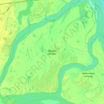
Name: Dachniy island topographic map, elevation, terrain.
Average elevation: 35 m
Minimum elevation: 25 m
Maximum elevation: 43 m
Other topographic maps
Click on a map to view its topography, its elevation and its terrain.
Kabelny island
Russia > Khabarovsk Krai > Khabarovsk > Khabarovsk
Kabelny island, Центральный район, Khabarovsk, Khabarovsk Krai, Far Eastern Federal District, Russia
Average elevation: 35 m