
El Crucero topographic map
Interactive map
Click on the map to display elevation.
About this map
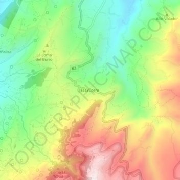
Name: El Crucero topographic map, elevation, terrain.
Location: El Crucero, Sogamoso, Sagamuxi, Boyacá, Colombia (5.63768 -72.94946 5.67768 -72.90946)
Average elevation: 2,856 m
Minimum elevation: 2,555 m
Maximum elevation: 3,236 m