
Thank you for supporting this site ❤️
Make a donation
Make a donation
Bada topographic map
Click on the map to display elevation.
Thank you for supporting this site ❤️
Make a donation
Make a donation
About this map
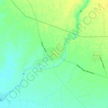
Name: Bada topographic map, elevation, terrain.
Location: Bada, Mandvi Taluka, Kachchh, Gujarat, 370405, India (22.88272 69.12834 22.92272 69.16834)
Average elevation: 13 m
Minimum elevation: 3 m
Maximum elevation: 24 m
Thank you for supporting this site ❤️
Make a donation
Make a donation
Other topographic maps
Click on a map to view its topography, its elevation and its terrain.