
Río Punila topographic map
Interactive map
Click on the map to display elevation.
About this map
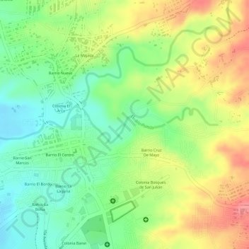
Name: Río Punila topographic map, elevation, terrain.
Location: Río Punila, Zacapa, 1901, Guatemala (14.97400 -89.52872 14.97793 -89.51665)
Average elevation: 241 m
Minimum elevation: 198 m
Maximum elevation: 289 m
Other topographic maps
Click on a map to view its topography, its elevation and its terrain.
Río Grande de Zacapa
Río Grande de Zacapa, Zacapa, 1901, Guatemala
Average elevation: 434 m