
Thank you for supporting this site ❤️
Make a donation
Make a donation
Carrasqueiro topographic map
Click on the map to display elevation.
Thank you for supporting this site ❤️
Make a donation
Make a donation
About this map
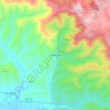
Name: Carrasqueiro topographic map, elevation, terrain.
Location: Carrasqueiro, Salir, Loulé, Faro, Algarve, Portugal (37.23304 -8.01285 37.27304 -7.97285)
Average elevation: 305 m
Minimum elevation: 161 m
Maximum elevation: 537 m
Thank you for supporting this site ❤️
Make a donation
Make a donation