
Bronschhofen topographic map
Interactive map
Click on the map to display elevation.
About this map
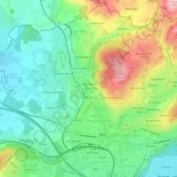
Name: Bronschhofen topographic map, elevation, terrain.
Location: Bronschhofen, Wahlkreis Wil, Saint-Gall, 9551, Suisse (47.45566 9.01697 47.49566 9.05697)
Average elevation: 587 m
Minimum elevation: 508 m
Maximum elevation: 733 m