
Hunting Hills topographic map
Interactive map
Click on the map to display elevation.
About this map
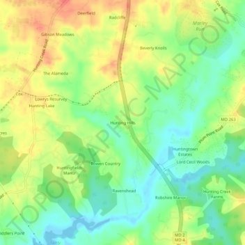
Name: Hunting Hills topographic map, elevation, terrain.
Location: Hunting Hills, Calvert County, Maryland, 20639, USA (38.57206 -76.63385 38.61206 -76.59385)
Average elevation: 26 m
Minimum elevation: -3 m
Maximum elevation: 55 m