
Thank you for supporting this site ❤️
Make a donation
Make a donation
Mulat topographic map
Click on the map to display elevation.
Thank you for supporting this site ❤️
Make a donation
Make a donation
About this map
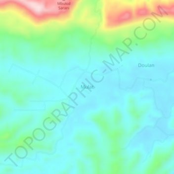
Name: Mulat topographic map, elevation, terrain.
Location: Mulat, Buol, Central Sulawesi, Indonesia (1.01333 121.49667 1.05333 121.53667)
Average elevation: 75 m
Minimum elevation: 6 m
Maximum elevation: 303 m
Thank you for supporting this site ❤️
Make a donation
Make a donation