
Zarafa topographic map
Interactive map
Click on the map to display elevation.
About this map
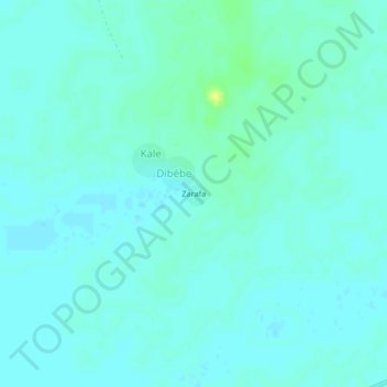
Name: Zarafa topographic map, elevation, terrain.
Location: Zarafa, Dibébe, Hadjer-Lamis, Chad (12.94067 16.53758 12.98067 16.57758)
Average elevation: 291 m
Minimum elevation: 287 m
Maximum elevation: 304 m