
เทศบาลเมืองคูคต topographic map
Interactive map
Click on the map to display elevation.
About this map
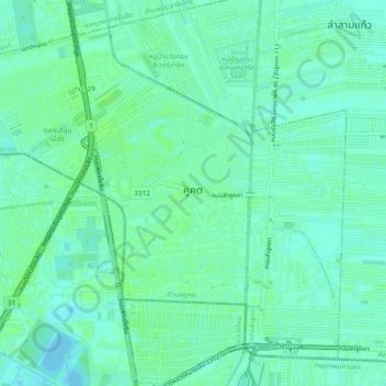
Name: เทศบาลเมืองคูคต topographic map, elevation, terrain.
Location: เทศบาลเมืองคูคต, อำเภอลำลูกกา, จังหวัดปทุมธานี, Thailand (13.93090 100.60511 13.97010 100.65200)
Average elevation: 5 m
Minimum elevation: -1 m
Maximum elevation: 9 m