Boundary County topographic map
Interactive map
Click on the map to display elevation.
Boundary County topographic map, elevation, terrain
About this map
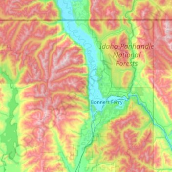
Name: Boundary County topographic map, elevation, terrain.
Location: Boundary County, Idaho, United States (48.50059 -117.03243 49.00084 -116.04897)
Average elevation: 1,216 m
Minimum elevation: 532 m
Maximum elevation: 2,334 m
Other topographic maps
Click on a map to view its topography, its elevation and its terrain.
Sun Valley
United States > Idaho > Blaine County
Sun Valley is a resort city in the western United States, in Blaine County, Idaho, adjacent to the city of Ketchum in the Wood River valley. The population was 1,783 at the 2020 census. The elevation of Sun Valley (at the Lodge) is 5,920 feet (1,805 m) above sea level.
Average elevation: 1,988 m
Boise County
United States > Idaho > Boise County
The Boise Basin, which contains Idaho City, was one of the nation's richest gold mining districts; gold was discovered in 1862, and more of it was pulled from present-day Boise County than from the entire state of Alaska. At its peak in the mid-1860s, Idaho City was the largest city in the Northwest, and it…
Average elevation: 1,655 m