
Thank you for supporting this site ❤️
Make a donation
Make a donation
Simpson County topographic map
Click on the map to display elevation.
Thank you for supporting this site ❤️
Make a donation
Make a donation
About this map
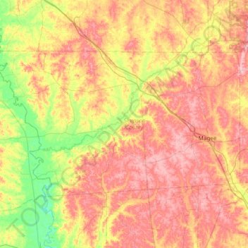
Name: Simpson County topographic map, elevation, terrain.
Location: Simpson County, Mississippi, United States (31.75249 -90.24788 32.04973 -89.65303)
Average elevation: 114 m
Minimum elevation: 49 m
Maximum elevation: 176 m
Thank you for supporting this site ❤️
Make a donation
Make a donation
Other topographic maps
Click on a map to view its topography, its elevation and its terrain.