
Yamanashi topographic map
Interactive map
Click on the map to display elevation.
About this map
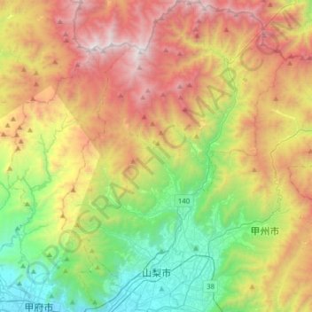
Name: Yamanashi topographic map, elevation, terrain.
Location: Yamanashi, Yamanashi Prefecture, Japan (35.66048 138.59308 35.90978 138.81360)
Average elevation: 1,222 m
Minimum elevation: 259 m
Maximum elevation: 2,580 m