
Thank you for supporting this site ❤️
Make a donation
Make a donation
Achiote topographic map
Click on the map to display elevation.
Thank you for supporting this site ❤️
Make a donation
Make a donation
About this map
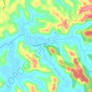
Name: Achiote topographic map, elevation, terrain.
Location: Achiote, Distrito de Chagres, Colón, Panamá (9.20157 -80.04026 9.24157 -80.00026)
Average elevation: 47 m
Minimum elevation: -3 m
Maximum elevation: 156 m
Thank you for supporting this site ❤️
Make a donation
Make a donation