
Hohweg topographic map
Interactive map
Click on the map to display elevation.
About this map
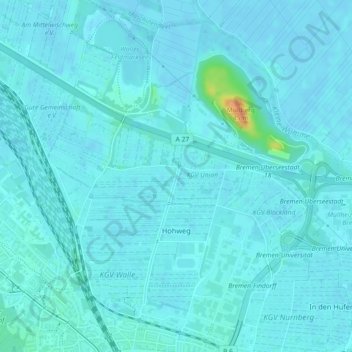
Name: Hohweg topographic map, elevation, terrain.
Location: Hohweg, Walle, Stadtbezirk Bremen-West, Bremen, 28219, Duitsland (53.10333 8.77762 53.13048 8.81712)
Average elevation: 4 m
Minimum elevation: -2 m
Maximum elevation: 39 m
Other topographic maps
Click on a map to view its topography, its elevation and its terrain.