
Thank you for supporting this site ❤️
Make a donation
Make a donation
Schweizer topographic map
Click on the map to display elevation.
Thank you for supporting this site ❤️
Make a donation
Make a donation
About this map
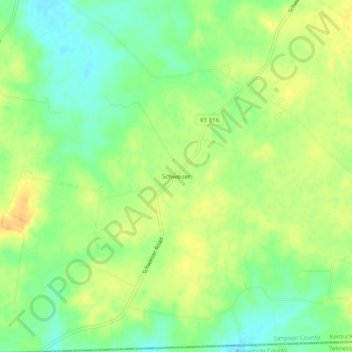
Name: Schweizer topographic map, elevation, terrain.
Location: Schweizer, Simpson County, Kentucky, United States (36.65088 -86.65388 36.69088 -86.61388)
Average elevation: 220 m
Minimum elevation: 204 m
Maximum elevation: 235 m
Thank you for supporting this site ❤️
Make a donation
Make a donation