
Wind topographic map
Interactive map
Click on the map to display elevation.
About this map
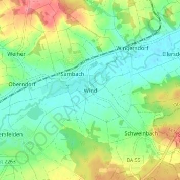
Name: Wind topographic map, elevation, terrain.
Average elevation: 284 m
Minimum elevation: 257 m
Maximum elevation: 333 m
Other topographic maps
Click on a map to view its topography, its elevation and its terrain.
Strullendorf
Duitsland > Beieren > Landkreis Bamberg
Strullendorf, Landkreis Bamberg, Beieren, 96129, Duitsland
Average elevation: 297 m