
Thank you for supporting this site ❤️
Make a donation
Make a donation
Nazigo topographic map
Click on the map to display elevation.
Thank you for supporting this site ❤️
Make a donation
Make a donation
About this map
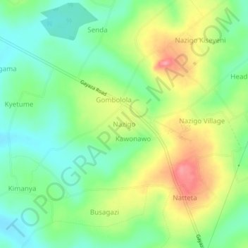
Name: Nazigo topographic map, elevation, terrain.
Location: Nazigo, Kayunga, Central Region, Uganda (0.62102 32.96660 0.66102 33.00660)
Average elevation: 1,110 m
Minimum elevation: 1,073 m
Maximum elevation: 1,166 m
Thank you for supporting this site ❤️
Make a donation
Make a donation