
Parktown topographic map
Interactive map
Click on the map to display elevation.
About this map
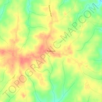
Name: Parktown topographic map, elevation, terrain.
Location: Parktown, Warren County, North Carolina, USA (36.29320 -78.16166 36.33320 -78.12166)
Average elevation: 103 m
Minimum elevation: 69 m
Maximum elevation: 127 m