
Sacpuy topographic map
Interactive map
Click on the map to display elevation.
About this map
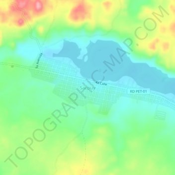
Name: Sacpuy topographic map, elevation, terrain.
Location: Sacpuy, San Andrés, Petén, Guatemala (16.96675 -90.07081 17.00675 -90.03081)
Average elevation: 160 m
Minimum elevation: 118 m
Maximum elevation: 245 m
Other topographic maps
Click on a map to view its topography, its elevation and its terrain.
Laguna Sacpuy
Laguna Sacpuy, 1a Avenida A, Sacpuy, San Andrés, Petén, Guatemala
Average elevation: 171 m