
Seneca topographic map
Interactive map
Click on the map to display elevation.
About this map
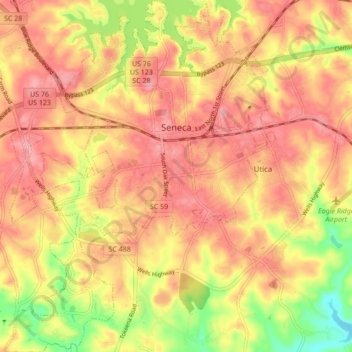
Name: Seneca topographic map, elevation, terrain.
Location: Seneca, Oconee County, South Carolina, United States (34.64130 -82.99494 34.71206 -82.92834)
Average elevation: 265 m
Minimum elevation: 200 m
Maximum elevation: 301 m