
Hopatcong topographic map
Interactive map
Click on the map to display elevation.
About this map
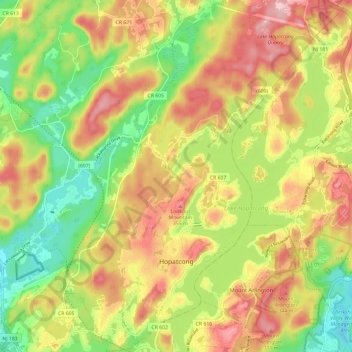
Name: Hopatcong topographic map, elevation, terrain.
Location: Hopatcong, Sussex County, New Jersey, USA (40.91011 -74.69771 40.99948 -74.61375)
Average elevation: 293 m
Minimum elevation: 204 m
Maximum elevation: 382 m