
Backbone Mountain topographic map
Interactive map
Click on the map to display elevation.
About this map
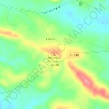
Name: Backbone Mountain topographic map, elevation, terrain.
Location: Backbone Mountain, Clay County, Alabama, USA (33.20729 -85.98863 33.20739 -85.98853)
Average elevation: 299 m
Minimum elevation: 263 m
Maximum elevation: 358 m
Other topographic maps
Click on a map to view its topography, its elevation and its terrain.