
Nauen topographic map
Interactive map
Click on the map to display elevation.
About this map
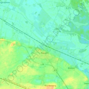
Name: Nauen topographic map, elevation, terrain.
Location: Nauen, Havelland, Brandemburgo, 14641, Alemania (52.58613 12.84542 52.64539 13.01349)
Average elevation: 34 m
Minimum elevation: 27 m
Maximum elevation: 52 m