
Thank you for supporting this site ❤️
Make a donation
Make a donation
Murray topographic map
Click on the map to display elevation.
Thank you for supporting this site ❤️
Make a donation
Make a donation
About this map
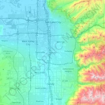
Name: Murray topographic map, elevation, terrain.
Location: Murray, Salt Lake County, Utah, 84107, United States (40.50678 -112.04842 40.82678 -111.72842)
Average elevation: 1,652 m
Minimum elevation: 1,283 m
Maximum elevation: 3,425 m
Thank you for supporting this site ❤️
Make a donation
Make a donation