
Gilchrist topographic map
Interactive map
Click on the map to display elevation.
About this map
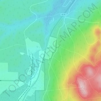
Name: Gilchrist topographic map, elevation, terrain.
Location: Gilchrist, Klamath County, Oregon, 97733, USA (43.45707 -121.70530 43.49707 -121.66530)
Average elevation: 1,399 m
Minimum elevation: 1,326 m
Maximum elevation: 1,581 m