
Buckley topographic map
Click on the map to display elevation.
About this map
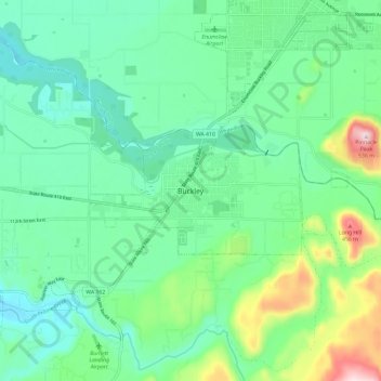
Name: Buckley topographic map, elevation, terrain.
Location: Buckley, Pierce County, Washington, United States (47.12225 -122.06775 47.20225 -121.98775)
Average elevation: 235 m
Minimum elevation: 136 m
Maximum elevation: 530 m