
Ittiva topographic map
Interactive map
Click on the map to display elevation.
About this map
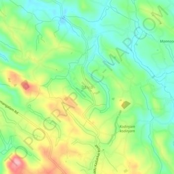
Name: Ittiva topographic map, elevation, terrain.
Location: Ittiva, Kottarakkara, Kollam District, Querala, 691311, Índia (8.84081 76.90088 8.88081 76.94088)
Average elevation: 106 m
Minimum elevation: 53 m
Maximum elevation: 191 m