
Thank you for supporting this site ❤️
Make a donation
Make a donation
Oshivelo topographic map
Click on the map to display elevation.
Thank you for supporting this site ❤️
Make a donation
Make a donation
About this map
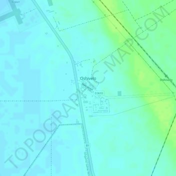
Name: Oshivelo topographic map, elevation, terrain.
Location: Oshivelo, Oshikoto, 14003, Namibia (-18.62321 17.16212 -18.61449 17.17165)
Average elevation: 1,106 m
Minimum elevation: 1,102 m
Maximum elevation: 1,115 m
Thank you for supporting this site ❤️
Make a donation
Make a donation
Other topographic maps
Click on a map to view its topography, its elevation and its terrain.