
Chaqa topographic map
Interactive map
Click on the map to display elevation.
About this map
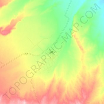
Name: Chaqa topographic map, elevation, terrain.
Location: Chaqa, Chira County, Hotan Prefecture, Xinjiang, China (36.46139 80.69199 36.54139 80.77199)
Average elevation: 2,083 m
Minimum elevation: 1,964 m
Maximum elevation: 2,208 m