
Macaton topographic map
Interactive map
Click on the map to display elevation.
About this map
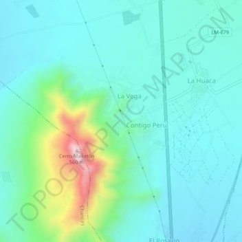
Name: Macaton topographic map, elevation, terrain.
Location: Macaton, Huaral, Provincia de Huaral, Lima, Perú (-11.55324 -77.23214 -11.51324 -77.19214)
Average elevation: 212 m
Minimum elevation: 120 m
Maximum elevation: 590 m