
Clipperton Island topographic map
Interactive map
Click on the map to display elevation.
About this map
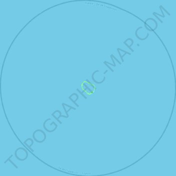
Name: Clipperton Island topographic map, elevation, terrain.
Location: Clipperton Island, France (10.08424 -109.43869 10.52031 -108.99709)
Average elevation: 0 m
Minimum elevation: -1 m
Maximum elevation: 6 m
It is low-lying and largely barren, with some scattered grasses and a few clumps of coconut palms (Cocos nucifera). Land elevations average 2 m (6.6 ft), though a small volcanic outcrop rising to 29 m (95 ft) on its south-east side is considerably higher and is referred to as "Clipperton Rock". The surrounding reef is exposed at low tide. The presence of this rock means that technically Clipperton is not an atoll but an island with a barrier reef.