
高桥乡 topographic map
Interactive map
Click on the map to display elevation.
About this map
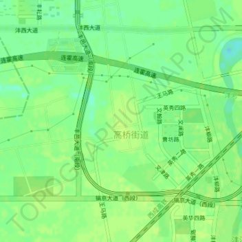
Name: 高桥乡 topographic map, elevation, terrain.
Location: 高桥乡, 陕西省, 中国 (34.24693 108.70885 34.25427 108.71620)
Average elevation: 392 m
Minimum elevation: 383 m
Maximum elevation: 395 m
Other topographic maps
Click on a map to view its topography, its elevation and its terrain.