
Prée topographic map
Interactive map
Click on the map to display elevation.
About this map
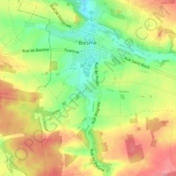
Name: Prée topographic map, elevation, terrain.
Location: Prée, Biesme, Mettet, Namur, Wallonie, 5640, Belgique (50.30433 4.58750 50.34433 4.62750)
Average elevation: 233 m
Minimum elevation: 189 m
Maximum elevation: 280 m