
Hall topographic map
Interactive map
Click on the map to display elevation.
About this map
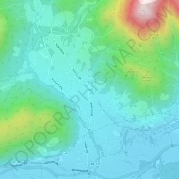
Name: Hall topographic map, elevation, terrain.
Location: Hall, Admont, Bezirk Liezen, Styria, 8911, Austria (47.58035 14.43964 47.62035 14.47964)
Average elevation: 789 m
Minimum elevation: 611 m
Maximum elevation: 1,478 m