
Thank you for supporting this site ❤️
Make a donation
Make a donation
Jasper County topographic map
Click on the map to display elevation.
Thank you for supporting this site ❤️
Make a donation
Make a donation
About this map
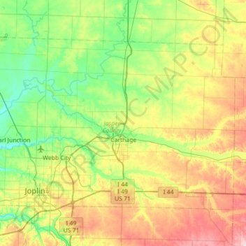
Name: Jasper County topographic map, elevation, terrain.
Location: Jasper County, Missouri, United States (37.04815 -94.61851 37.36414 -94.05458)
Average elevation: 313 m
Minimum elevation: 256 m
Maximum elevation: 419 m
Thank you for supporting this site ❤️
Make a donation
Make a donation