
Thank you for supporting this site ❤️
Make a donation
Make a donation
Wrayee topographic map
Click on the map to display elevation.
Thank you for supporting this site ❤️
Make a donation
Make a donation
About this map
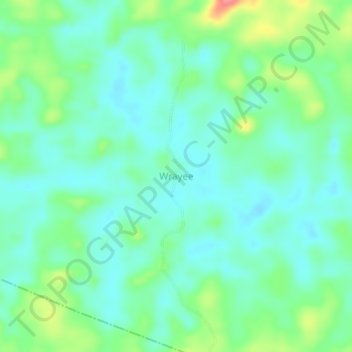
Name: Wrayee topographic map, elevation, terrain.
Location: Wrayee, Doedain, River Cess County, Liberia (6.07034 -9.23067 6.11034 -9.19067)
Average elevation: 166 m
Minimum elevation: 144 m
Maximum elevation: 223 m
Thank you for supporting this site ❤️
Make a donation
Make a donation