
Llantwit Major topographic map
Interactive map
Click on the map to display elevation.
About this map
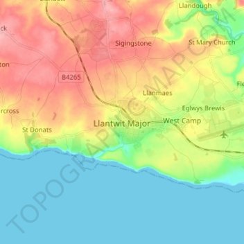
Name: Llantwit Major topographic map, elevation, terrain.
Average elevation: 41 m
Minimum elevation: 0 m
Maximum elevation: 103 m
Other topographic maps
Click on a map to view its topography, its elevation and its terrain.
Penarth
Royaume-Uni > Pays de Galles > Vale de Glamorgan
Penarth, Vale de Glamorgan, Pays de Galles, Royaume-Uni
Average elevation: 17 m