
Lainbach topographic map
Interactive map
Click on the map to display elevation.
About this map
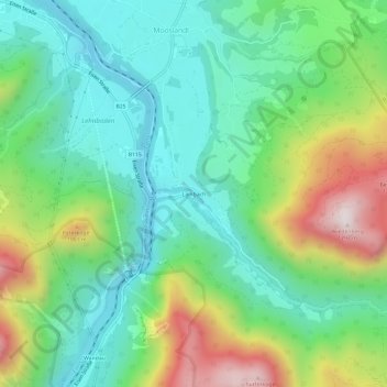
Name: Lainbach topographic map, elevation, terrain.
Location: Lainbach, Landl, Bezirk Liezen, Styrie, 8931, Autriche (47.61604 14.74678 47.65604 14.78678)
Average elevation: 720 m
Minimum elevation: 458 m
Maximum elevation: 1,285 m