
Auburn topographic map
Interactive map
Click on the map to display elevation.
About this map
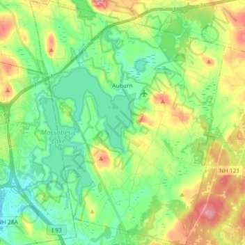
Name: Auburn topographic map, elevation, terrain.
Location: Auburn, Rockingham County, New Hampshire, 03032, USA (42.93578 -71.40357 43.04132 -71.28812)
Average elevation: 107 m
Minimum elevation: 57 m
Maximum elevation: 205 m