
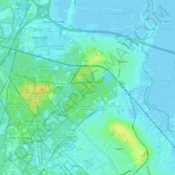
Baarn topographic map
Interactive map
Click on the map to display elevation.
About this map
Name: Baarn topographic map, elevation, terrain.
Location: Baarn, Utrecht, Pays-Bas (52.16762 5.21649 52.23283 5.33581)
Average elevation: 5 m
Minimum elevation: -3 m
Maximum elevation: 27 m
Carte topographique de Baarn (2017).