
Roßbach topographic map
Interactive map
Click on the map to display elevation.
About this map
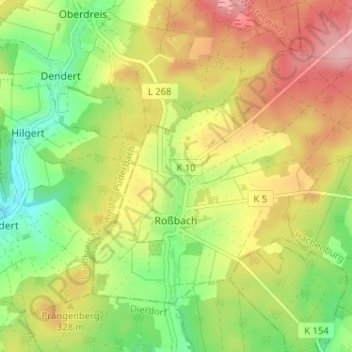
Name: Roßbach topographic map, elevation, terrain.
Location: Roßbach, Hachenburg, Westerwaldkreis, Rijnland-Palts, Duitsland (50.59346 7.66522 50.62308 7.72937)
Average elevation: 312 m
Minimum elevation: 242 m
Maximum elevation: 388 m