
Svängsta topographic map
Interactive map
Click on the map to display elevation.
About this map
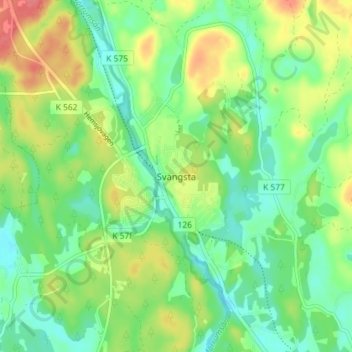
Name: Svängsta topographic map, elevation, terrain.
Location: Svängsta, Karlshamns kommun, Provinz Blekinge, Schweden (56.24198 14.75480 56.28198 14.79480)
Average elevation: 63 m
Minimum elevation: 38 m
Maximum elevation: 103 m