
Kimihurura topographic map
Interactive map
Click on the map to display elevation.
About this map
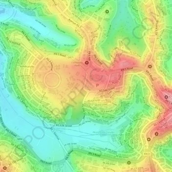
Name: Kimihurura topographic map, elevation, terrain.
Location: Kimihurura, Gasabo District, Kigali City, Rwanda (-1.96689 30.07572 -1.94549 30.10512)
Average elevation: 1,443 m
Minimum elevation: 1,381 m
Maximum elevation: 1,512 m