
Thank you for supporting this site ❤️
Make a donation
Make a donation
Preston topographic map
Click on the map to display elevation.
Thank you for supporting this site ❤️
Make a donation
Make a donation
About this map
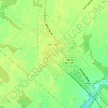
Name: Preston topographic map, elevation, terrain.
Location: Preston, Caroline County, Maryland, United States (38.70057 -75.91550 38.72003 -75.89866)
Average elevation: 13 m
Minimum elevation: 1 m
Maximum elevation: 18 m
Thank you for supporting this site ❤️
Make a donation
Make a donation
Other topographic maps
Click on a map to view its topography, its elevation and its terrain.