
Bschlabs topographic map
Interactive map
Click on the map to display elevation.
About this map
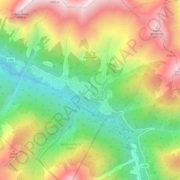
Name: Bschlabs topographic map, elevation, terrain.
Location: Bschlabs, Pfafflar, Bezirk Reutte, 6647, Autriche (47.28929 10.56559 47.32929 10.60559)
Average elevation: 1,668 m
Minimum elevation: 1,089 m
Maximum elevation: 2,358 m